

We’ve always been fascinated by maps, through various elements of design, from topography to color theory to data visualization, they brilliantly condense and capture complex notions about space, scale, terrain, politics, and more. Yes, maps are fundamental, sense-making mechanisms for the world.
Here, we take a look at twelve of our favorite books that explore the art and science of cartography (mapmaking) from twelve engaging angles.

Image from Amazon
The Eternal City: A History of Rome in Maps by Jessica Maier
Author Jessica Maier approaches Rome’s history through maps, although deploying other sources including art and photography. The books is divided into ten chronological sections, Rome Takes Shape; Rome of the Caesars; Rome of the Popes; Rome Reborn; Rome of the Scholars; Rome of the Saints and Pilgrims; Rome of the Grand Tourists; Rome of the Mass Tourists; Rome enters the Modern Age; and Rome Past, Present, and Future
As inevitably is the case, there is much missing, and also a somewhat rushed feel to the post-Mussolini years. Yet Maier has so much to cover, both in the selection and discussion of visual images and in her considerate and effective pose style, what she does tackle is done very well. A delight of a book.
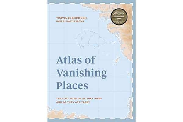
Image from Amazon
Atlas of Vanishing Places by Travis Elborough
Discover ancient seats of power and long forgotten civilizations through the Mayan city of Palenque; delve into the mystery of a disappeared Japanese inlet; and uncover the incredible hidden sites, like the submerged town of Old Adaminaby (Australia), once abandoned but slowly reemerging.
With beautiful maps and stunning photography, Atlas of Vanishing Places shows these places as they once were, as well as how they look today. It is an engrossing guide to lost lands and the fragility of our relationship with the world around us

Image from Amazon
Brilliant Maps for Curious Minds: 100 New Ways to See the World by Ian Wright
Brilliant Maps is a singular atlas of 100 infographic maps ranging from thought provoking to flat-out fun. Which countries don’t have rivers? Which ones have North Korean embassies? Who drives on the wrong side of the road? How many national economies are bigger than California? And where can you still find lions in the world? You’ll learn answers to these questions and many more.

Image from Amazon
You Are Here: NYC: Mapping the Soul of the City by Katherine Harmon
New York City’s soul is a complex and amorphous thing, but this ambitious collection of maps, infographics, artworks, and illustrations make numerous determined attempts to pin it down. Featuring representations of the city from 1600 onward, it’s full of big names (Andy Warhol, John Cage) as well as lesser known cartographers. Source material runs the gamut from dusty archives to International Space Station photographs.
Some artworks leave room for interpretation while others focus the spotlight more clearly like Liz Scranton’s “The Drive of the Hive,” a honeycomb map of the subway landforms that changed over time as the bees did their thing.
Every page shines a different light on the city through hand-drawn New Yorker covers, interactive data visualizations, and photographs or artifacts such as designer Meridith McNeal’s transit map dress.

Image from Amazon
A History of the World in 12 Maps by Jerry Brotten
Jerry Brotten’s book has a fairly self-explanatory focus, taking a look at twelve maps that have influenced or shaped the world.
Taking a look at how these maps were shaped by different societies and the fears and beliefs of the time, and taking in Ptolemy’s geography as well as current digital maps, A History of the World in Twelve Maps is a detailed, educational, and entertaining book.
The author successfully illustrates how maps serve as more than simply way finders, and instead tell rich, detailed stories about the world we live in.
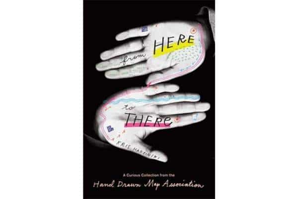
Image from Amazon
From Here To There: A Curious Collection from the Hand Drawn Map Association by Kris Harzinski
This book is exactly what it promises: a delightful anthology of ephemeral documents that gives directions….from quirky doodles to remarkably detailed drawings. Many of the impressions here are back of the envelope sketches, instructions to a friend’s house, or maps found in rubbish bins (one of these, a loosely accurate map of the U.S., was found at the World Curling Championships in North Dakota, and why not?). The maps are slips of communication saying things words can’t, a spatial skill we may all be losing to our phones and satellite navigation.
From Here to There offers a charming visual treat and, in the process, reveals fascinating slivers of human history.

Image from Amazon
Unfathomable City: A New Orleans Atlas by Rebecca Solnit and Rebecca Snedeker
This enticing book claims to offer a “provocation” rather than a comprehensive guide to the Crescent City, but with over 22 maps and accompanying essays, it gives an unparalleled insight into this alluring city.
With visuals covering everything from Katrina damage to the city’s bounce music scene via parade routes, pipelines, the historic banana trade, and much more, the authors add layers of context to a place they justifiably deem “all kinds of unfathomable.” This book is part of a trilogy that also plumbs similar depths in New York and San Francisco.

Image from Amazon
Phantom Atlas: The Greatest Myths, Lies and Blunders on Maps by Edward Brooke-Hitching
It’s hard to imagine on present day (Google) Earth, but for centuries paper maps were all we had – and they were often wildly, dangerously, or laughably inaccurate. This intriguing book chronicles all manner of misguided designs, sketching out a planet of non-existent islands, giant lobsters and sea rhinoceroses, a California that is separated from the U.S. mainland, and the Earth in a map (as late as 1893) as completely flat.
The book won’t help you get from A to B, but it will take you on a glorious and deranged journey.

Image from Amazon
Airline Maps: A Century of Art and Design by Mark Ovenden and Maxwell Roberts
In this nostalgic and celebratory look back at a century of passenger flights, Ovenden and Roberts look to the sky and transport readers to another time. Inside, you will find hundreds of images right from the rudimentary trajectory of routes to the most intricately detailed birds-eye view of the land to be flown over.
Airline Maps is a celebration of graphic design, cartographic skills, and clever marketing; it is a visual feast that reminds us to enjoy the journey as much as the destination.
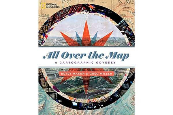
Image from Amazon
All Over the Map: A Cartographic Odyssey by Greg Miller and Betsy Mason
This delightful compendium from National Geographic and two former Wired staffers celebrates cartography from the days of “here be dragons,” to the digital present over the course of 200 plus maps. It is a crazy and wonderful selection. We’re talking maps designed to guide aliens to Earth and currently flying through space on the Voyagers spacecraft….A detailed plan of Westeros, the fictional realm of Games of Thrones….A guide to San Francisco’s buried shipwrecks….It’s safe to say, All Over the Map is several degrees south of Rand McNally territory, and all the more weird and wonderful for it.

Image from Amazon
Plotted: A Literary Atlas by Daniel Harmon and Andrew De Graff
An ideal addition for book and map enthusiasts alike, Plotted: A Literary Atlas offers richly detailed maps of the most famous literary stories in history including The Odyssey and The Adventures of Huckleberry Finn.
Designed to help readers better understand the world of their favorite literary heroes, the maps are beautiful accompaniments to both fiction and non-fiction works alike, employing real geography as well as the author’s own imagination to create these compelling and beautiful maps.

Image from Amazon
On the Map: A Mind-Expanding Exploration of the Way the World Looks by Simon Garfield
Simon Garfield’s On the Map takes a look at the history of maps and the way they have shaped how we make sense of the world. The book is presented as a series of short stories, with each one telling the tale of a different map and exploring the cultural context in which it was created from the Hereford Mappa Mundi to the Sky rim video map.
Exploring how these maps reflect their maker’s belief with an approach that is accessible, amusing, and educational, Garfield’s book has proved to be a hit with map heads and wider audiences alike.